> Tags: Marine protected area, Spatial planning
> Theme: Biodiversity
> Country: Norway
> Last updated: 04 June 2020

Policy in practice
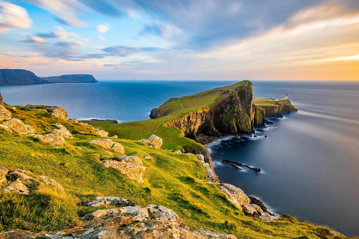
Norway provides an example that has successfully integrated all major economic activities – oil and gas development, fisheries, and marine transport, together with nature conservation, in its marine spatial planning (MSP) activities for the Barents Sea. In 2003, a government-appointed inter-ministerial steering group chaired by the Ministry of Climate and Environment and with representatives of relevant ministries initiated work on an integrated marine management plan for the Barents Sea. One of the major issues in the Barents Sea was the potential expansion of oil and gas activities into areas used by fisheries and living marine resources. The development of the plan (completed in 2006, updated in 2010-11) included an evaluation of the cumulative effects of development up to 2020 and followed a four-phase process:
1. Evaluation of the current marine environment. Status reports were prepared by governmental management and research institutions or by consultants, covering the state of the marine environment, the coastal zone, fisheries, aquaculture – especially valuable and vulnerable areas (for biodiversity and for biological production), oil and gas, and shipping. The initial reports uncovered major gaps in current knowledge. Therefore, a key principle of the planning process was to use caution in the face of uncertainty. The plan also had to be adaptive to allow the evaluation of new knowledge as it became available.
2. Analysis of environmental impacts. Reports of marine activities ex post and ex ante. Four extensive government-funded environmental impact assessments were carried out, covering the impact of fisheries, shipping, hydrocarbon extraction and external pressures (e.g. pollution) on the environment, resources and local communities. Impacts were assessed relative to a base year (2003) and relative to expected future impacts up to 2020, with uncertainty increasing over time. Analysis of the cumulative impacts and management goals. This included an analysis of: 1) the total impact of all human activities combined, both for the current situation and up to 2020; 2) the area conflicts among human activities, and between human use and ecologically valuable areas; 3) the definition of management goals required for implementation; and 4) identification of gaps in current knowledge.
4. Environmental quality objectives and progress monitoring. Operational environmental quality objectives were developed based on the management goals. These covered climate, ice edge, phytoplankton, zooplankton, commercial fish species, non-commercial fish species, benthic organisms, marine mammals, seabirds, alien species, threatened and vulnerable species, and pollutants. Progress toward the objectives is monitored annually.
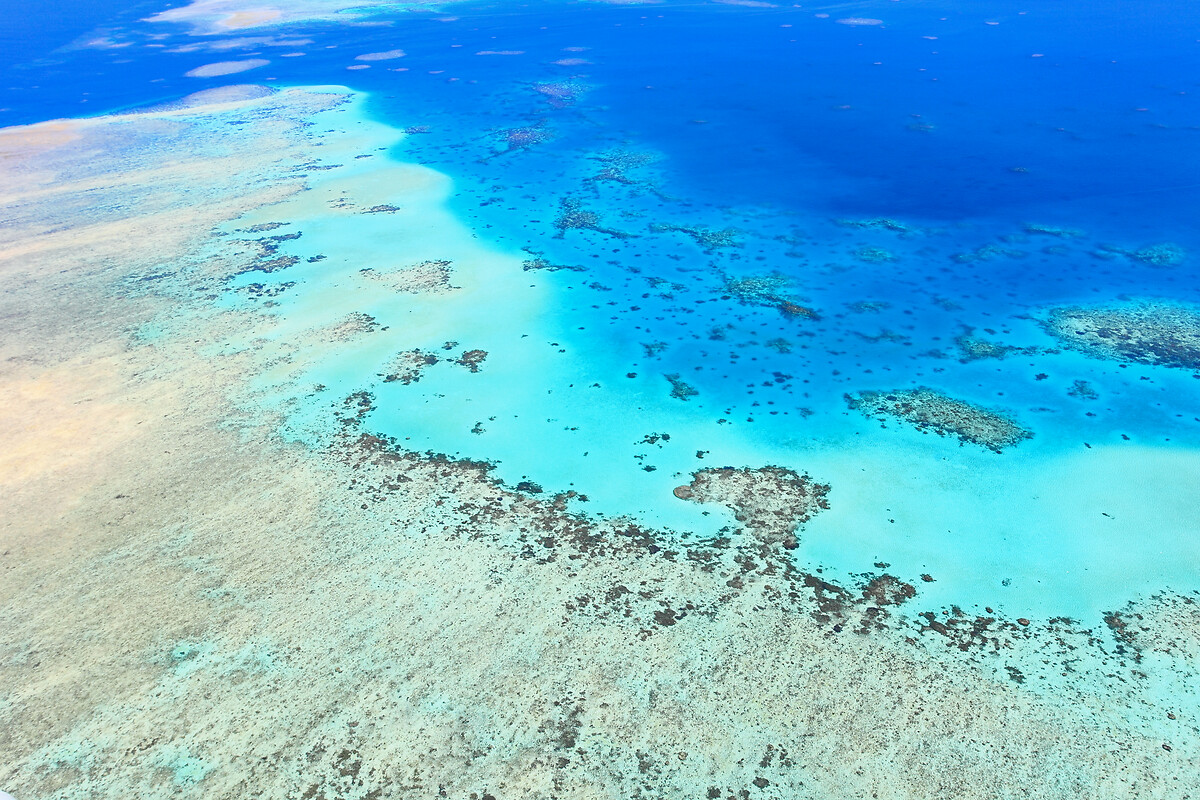
Since the management plan was presented in 2006, additional research has focused on mapping of the seabed, seabird populations and the geology of the area. Furthermore, the knowledge base on the impacts, scale and pace of climate change and ocean acidification has been strengthened. MSP is at the core of the plan, identifying particularly valuable and vulnerable areas, either from ecological and/or human perspectives. Within the plan, access to specific areas for human activities is carefully managed, for example, by moving shipping lanes outside Norwegian territorial waters (12 nautical miles), limiting trawling in sensitive areas, not opening most particularly valuable and vulnerable areas to petroleum activities, including the ice edge, and extending marine protected areas and fishery closure areas to protect spawning aggregations, fish eggs and larvae, and juvenile fish and shellfish.
The main management challenges identified in the 2010-11 update of the Integrated Management Plan for the Marine Environment of the Barents Sea-Lofoten Area are related to long-range transboundary pollution, climate change and ocean acidification, the decline in seabird populations, the risk of acute oil pollution, and further development of the different elements of an ecosystem-based management regime.
A central concept of the plan is that it is based on the best available scientific information and takes a precautionary approach, implying a need for revision as new knowledge becomes available. The plan represents a synergy of previously separate management regimes: management of fisheries, shipping and the hydrocarbon industry are brought together under one umbrella to co-ordinate efforts and to achieve a healthy ecosystem. One of the shortcomings of the Barents Sea planning process was its lack of consultation with the Saami parliament.
Similar management plans have now been established for all Norwegian sea areas. An important feature of the management plan system is that relevant agencies and key research institutions co-operate in drawing up the scientific basis and carry out cross-sector assessments for the plans. Numerous sector representatives with very different interests and goals have worked together toward agreement in the end. Although demanding, the process of developing a coherent knowledge base has created better understanding, ownership and commitment across the sectors. The benefits of integrated marine management plans include: moving away from a sectorial to an integrated holistic approach; co-ordination and co-operation between different sectors; addressing the cumulative impacts of various activities on the ecosystem; managing and balancing multiple and sometimes conflicting objectives and competing interests; and enabling the identification and focus on critical issues.
Key policy message
Marine spatial planning (MSP) can support the sustainable use of marine resources and shield marine protected areas (MPAs) from human activities that lie outside their boundaries